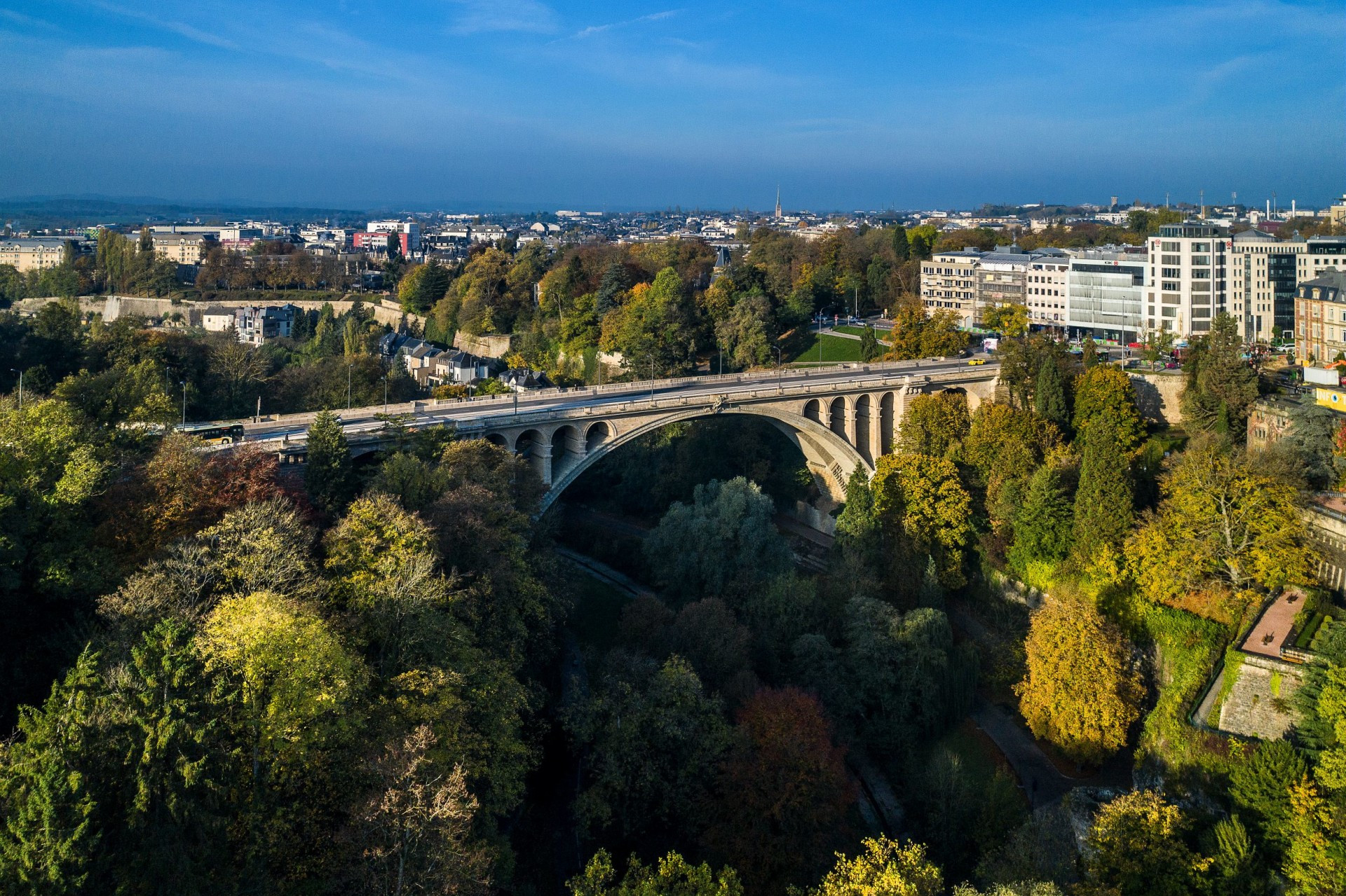
Luxembourg, a city with a unique topography
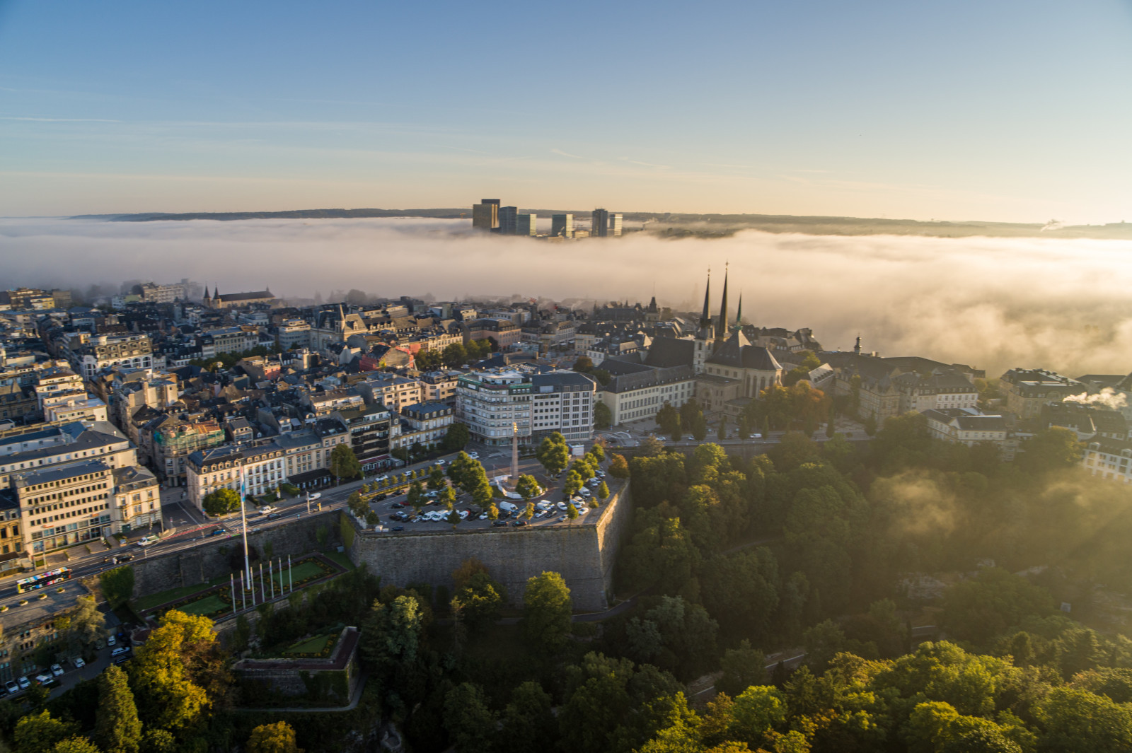
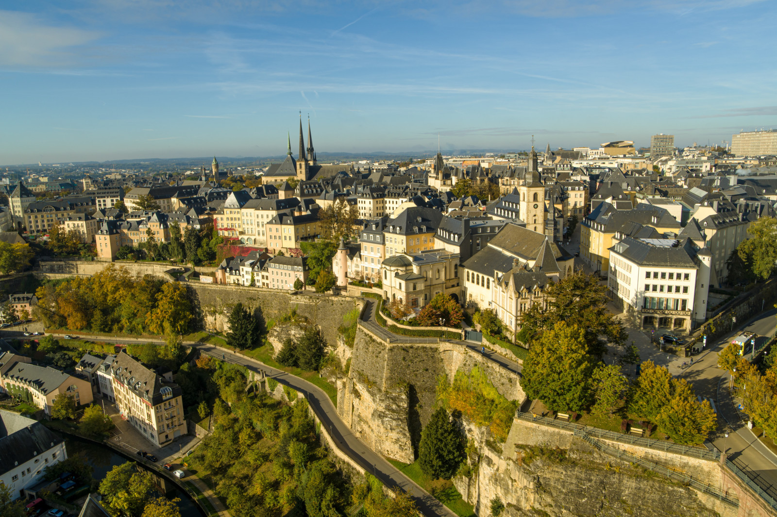
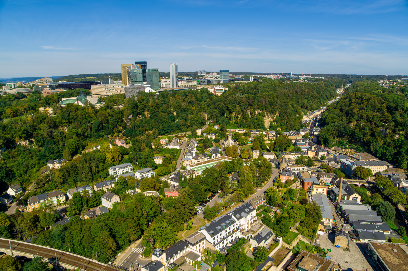
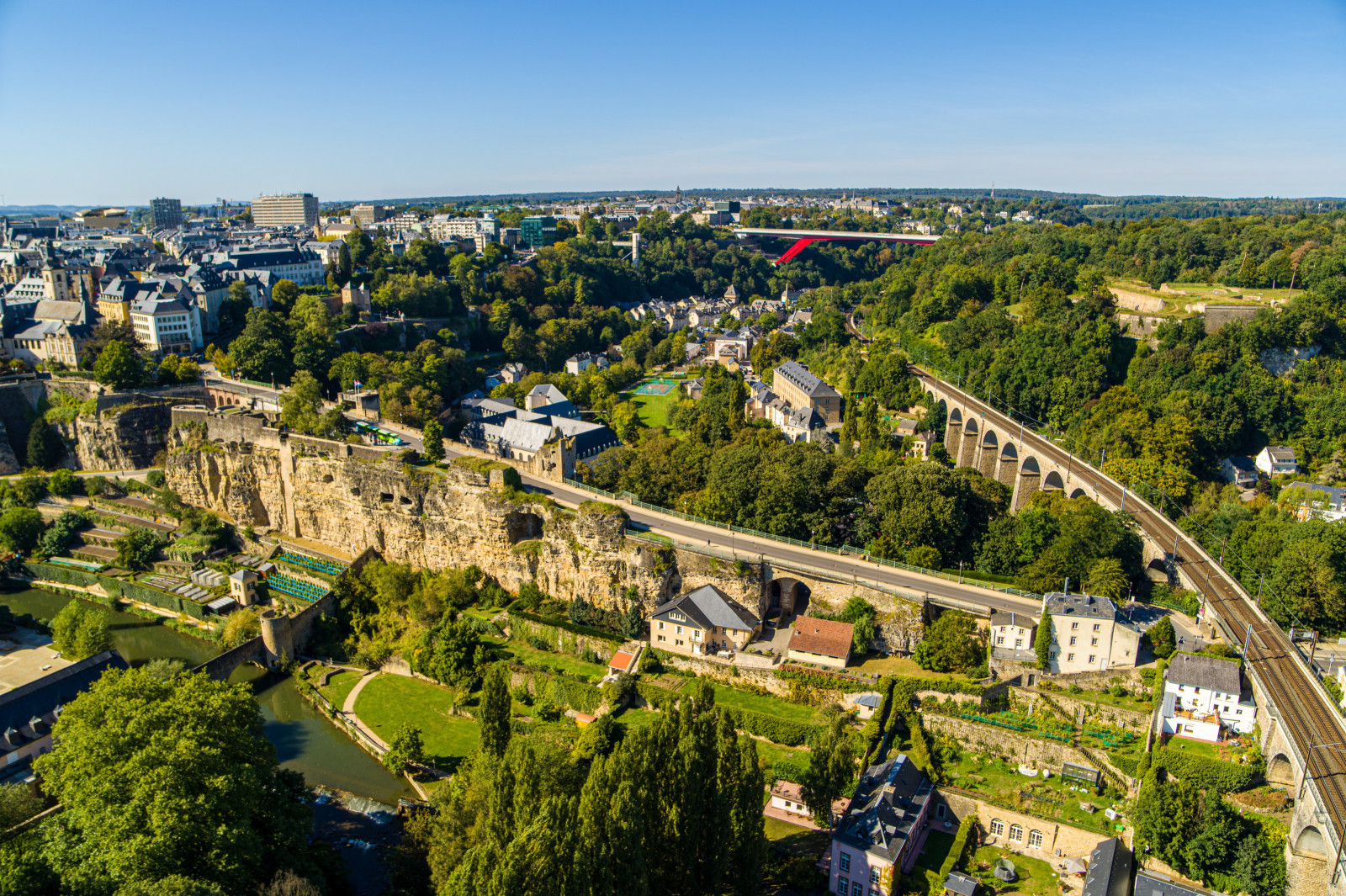
Built on different levels Luxembourg's cityscape is characterised by deep valleys, steep cliffs, and breathtaking viewpoints.
Between valleys and plateaus
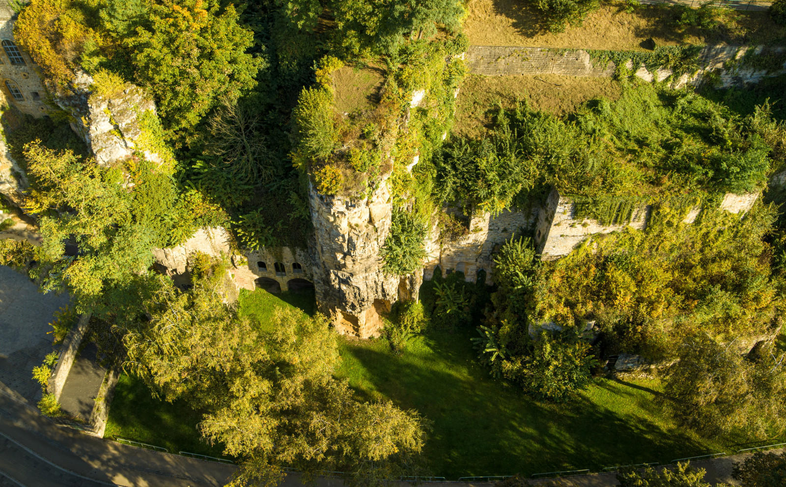
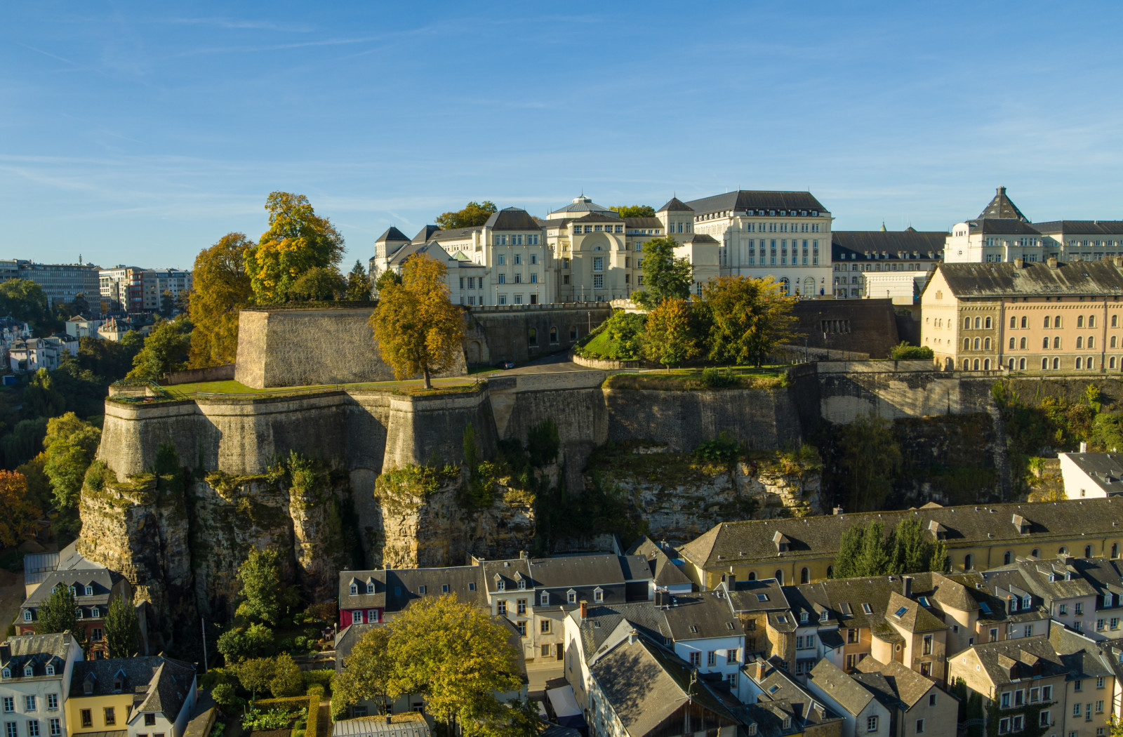
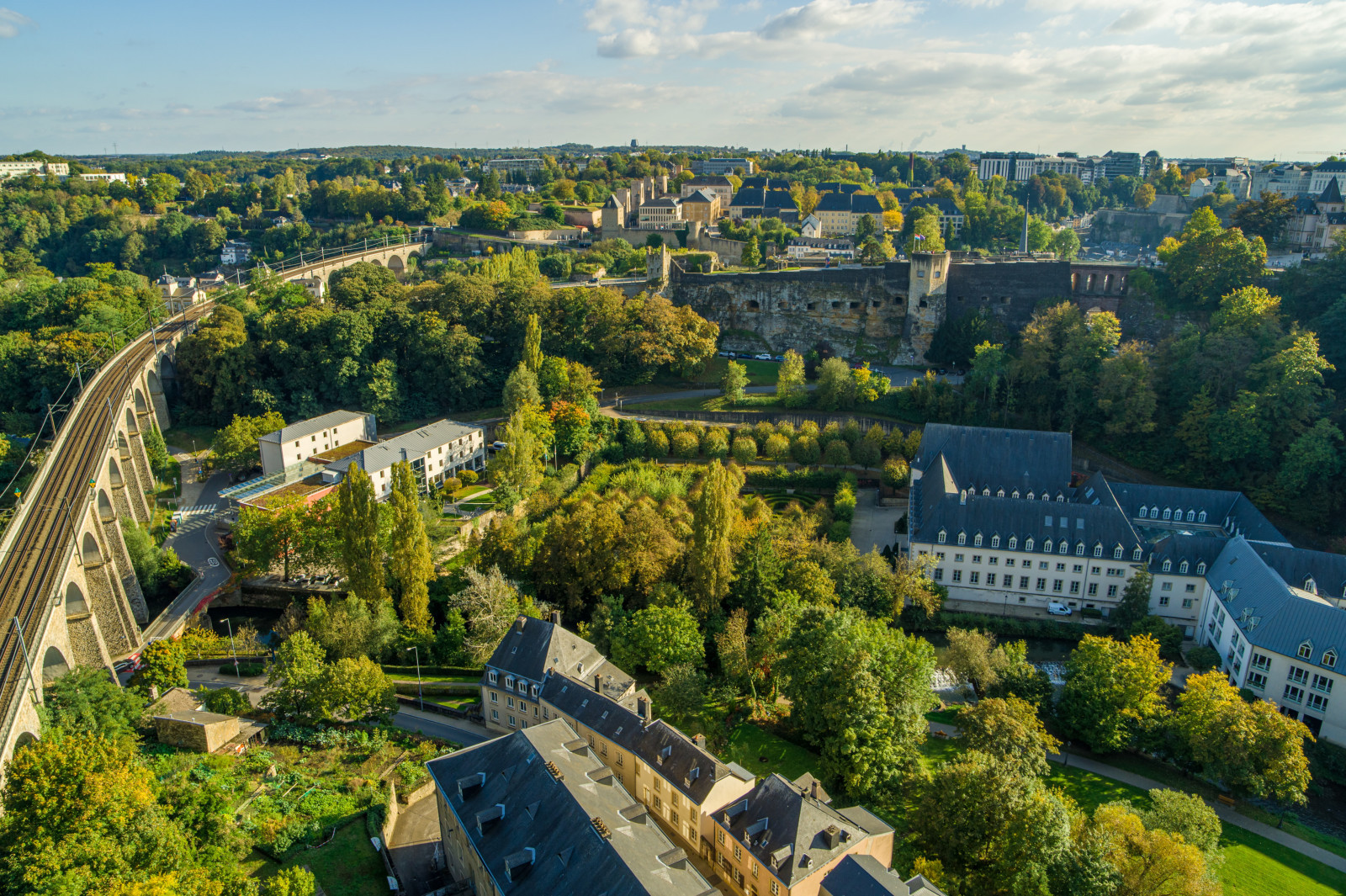
Two rivers, the Alzette and the Pétrusse, run through Luxembourg City. Over centuries, the water has made its way here, leaving deep, rocky valleys. This natural barrier provided an ideal geographical location for what is now known as Luxembourg City. The mighty Bock Promontory rises from the Alzette valley with a height difference of 45 metres. From up there, you can enjoy a 360° view of the surrounding countryside.
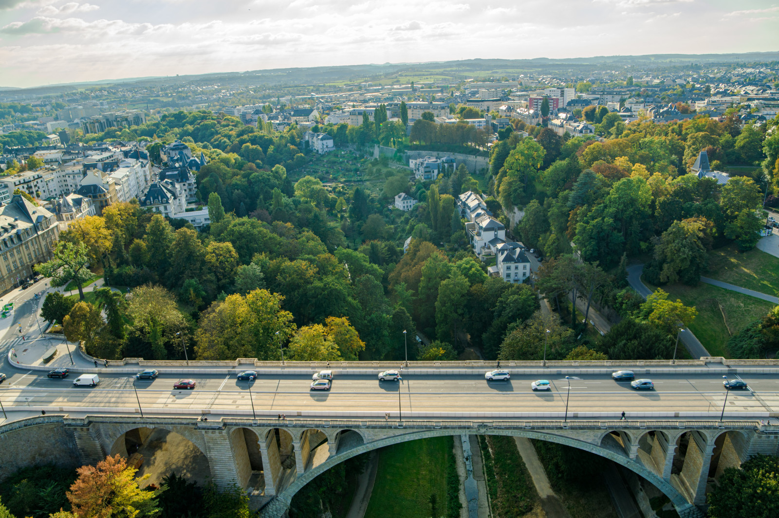
In the course of time, the city has grown, and city districts have settled in the valleys as well as on the surrounding plateaus. Today, the upper town is connected by both old and modern bridges to the Plateau Bourbon in the Gare district and the Plateau de Kirchberg. The Grund and Pfaffenthal districts are reachable by public lifts and the Kirchberg Plateau by the city’s only funicular. If you are up for the challenge, you can also walk up one of the steep alleys or take the stairs to the upper town.
Watch our drone videos !
The city of Luxembourg, with its unique topography, has many great vantage points to offer. Check out the two videos below to discover Luxembourg’s topography as well as the urban mobility solutions that were put in place to overcome these height differences.


